Self-guided audio tour in Hanoi
Start Free on iPhone
Start free on iPhone to unlock this self-guided walking tour in Hanoi. Hear all the stories that make it amazing, walk at your own pace, and begin whenever you want.
Your Private Tour Guide
Rising above the Red River like a rusted dragon, the Long Bien Bridge is more than just a piece of infrastructure; it is the resilient soul of Hanoi. Originally named the Paul Doumer Bridge, this cantilever structure was completed in 1902 by the French firm Daydé & Pillé. While local legend often incorrectly attributes its design to Gustave Eiffel, its industrial elegance certainly shares that iconic French DNA. This self-guided walk invites you to traverse a century of history, from the bridge's colonial origins to its role as a strategic target and symbol of defiance during the Vietnam War. This walking route takes you across the narrow metal spans where motorbikes buzz and trains rumble, offering a perspective of Hanoi that few visitors truly experience. You will begin at the charmingly weathered Long Bien Railway Station, a relic of the early 20th century that still serves as a gateway for travelers heading north. As you follow this neighborhood stroll, you will witness the stark contrast between the bustling energy of the city's wholesale markets and the tranquil, green mudflats of the Red River island below. This audio walk is designed for those who appreciate industrial heritage, gritty urban landscapes, and the layers of history that define modern Vietnam. Exploring independently allows you to stop and photograph the intricate lattice of ironwork or watch the sunset cast a golden glow over the river. The bridge has been bombed multiple times and repaired with mismatched spans, creating a visual timeline of the city's survival. Beyond the history, this route offers a sensory deep-dive into Hanoi life: the smell of fresh produce from the market, the rhythmic clanging of the tracks, and the panoramic views of the growing skyline. Whether you are a photography enthusiast or a history buff, this self-guided adventure provides the context needed to understand why this bridge remains the most beloved landmark for Hanoians today.
Numbers indicate the order of stops on the tour.
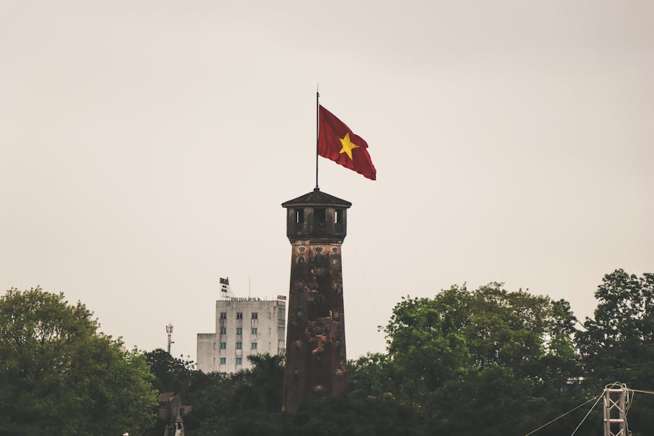
Welcome to the starting point of your exploration. Built in 1902, this station is a quintessential example of French colonial architecture. Notice the yellow-ochre walls and the vintage signage that feels frozen in time. Unlike the grand Hanoi Central Station, Long Bien has a more intimate, gritty charm. It was designed as the starting point for the railway line connecting Hanoi to the port of Haiphong and the northern border. Today, it remains fully operational. If you stand on the platform, you can see how the tracks immediately lead onto the bridge, creating a seamless transition from the city streets to the iron spans over the river.
While you are here, look up at the colonial-style building housing Serein Cafe. This is widely considered the best vantage point for photographers in the city. From its terrace, the scale of the Long Bien Bridge becomes clear. You can see the rhythmic pattern of the iron trusses stretching nearly two kilometers across the water. It is from this height that you can truly appreciate the 'dragon' metaphor—the bridge appears to undulate across the landscape. It is a perfect spot to observe the flow of traffic below, where thousands of motorbikes navigate the narrow lanes in a choreographed chaos that is uniquely Vietnamese.
Just beneath the bridge ramp lies the Long Bien Wholesale Market. If you visit in the very early hours of the morning, this is the most chaotic and vibrant place in Hanoi. Even during the day, the area hums with the energy of traders and transporters. The market is the city's stomach, where produce from the surrounding provinces arrives before dawn. The bridge serves as a literal roof for parts of this commerce. As you begin your walk onto the bridge itself, the sounds of the market will fade, replaced by the metallic hum of the structure as motorbikes and the occasional train pass by.
As you continue across the bridge toward the Long Bien district side, you will notice the traffic patterns. Uniquely, traffic on this bridge stays to the left, a remnant of its original design. Look closely at the iron beams; you will see the name 'Daydé & Pillé' etched into the metal. This section of the walk takes you over the 'Middle Island,' a lush green oasis of banana and vegetable plantations that feels worlds away from the city center. The bridge was heavily targeted during the 1960s and 70s, and if you look at the different sections, you can see where modern repairs meet the original 19th-century lattice.
You have now crossed the Red River and arrived at Gia Lam Station. This station serves as the terminus for many regional trains and even the international train to Nanning, China. The atmosphere here is significantly quieter than in the Old Quarter. It offers a glimpse into a more residential, industrial side of Hanoi. The architecture here is more functional, reflecting the post-colonial and socialist era of the city's development. Take a moment to rest here and observe the local commuters who use the bridge daily as a vital lifeline between the two sides of the river.
Concluding your walk in the Long Bien district, you can look back across the water toward the Hanoi skyline. From this distance, the bridge looks delicate, almost fragile, yet it has survived over a century of floods, heavy traffic, and intense aerial bombardment. This area is rapidly developing, with modern bridges like the Chuong Duong and Vinh Tuy visible in the distance, but none carry the symbolic weight of the Long Bien. It remains a testament to Vietnamese endurance and a bridge between the city's colonial past and its bustling, modern future.
Start Free on iPhone
Explore “Long Bien Bridge: A Century of Resilience” with your very own Private Tour Guide with Zigway. Start free on iPhone, skip the large group and the fixed routes, and hear the city come alive as you go.
Your Private Tour Guide
Don't miss the good stuff
Explore Freely
 Moderate
Hanoi, Vietnam
Discover Hanoi's resilient spirit on this self-guided audio walk through wartime bunkers, historic prisons, and military landmarks.
 Easy
EasyHanoi, Vietnam
Discover Hanoi's spiritual heart and scenic vistas on an independent stroll featuring ancient pagodas, colonial architecture, and sunset lake views.
 Easy
EasyHanoi, Vietnam
Explore Hanoi's diverse spiritual heritage on this self-guided walk through historic pagodas, a Neo-Gothic cathedral, and lakeside temples.
 Easy
EasyHanoi, Vietnam
Discover Hanoi's vibrant soul through railway-side murals, historic tracks, and the record-breaking Ceramic Road on this self-guided walk.
 Moderate
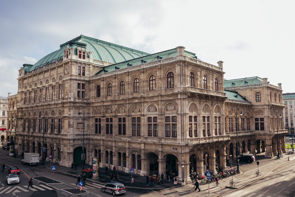
Vienna, Austria
Discover the noir world of The Third Man and Cold War Vienna on this atmospheric self-guided audio walk through the historic Innere Stadt.
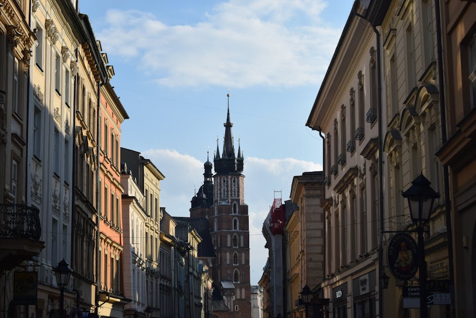 Moderate
Krakow, Poland
Discover Krakow’s stunning skyline and riverside charm on this self-guided audio walk through scenic viewpoints and historic mounds.
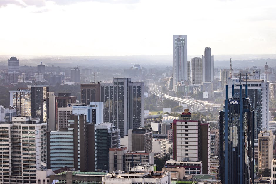 Easy
EasyNairobi, Kenya
Discover Nairobi's iconic skyline on this self-guided architecture walk through the CBD’s most famous modernist and Brutalist landmarks.
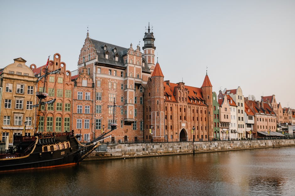 Moderate
Gdansk, Poland
Discover the raw beauty of Gdansk’s Lower Town. Explore industrial ruins, hidden sluices, and riverside bastions on this self-guided walk.
 Moderate
Ho Chi Minh City, Vietnam
Explore the history of the Vietnam War at your own pace through iconic landmarks and hidden clandestine sites in Districts 1 and 3.
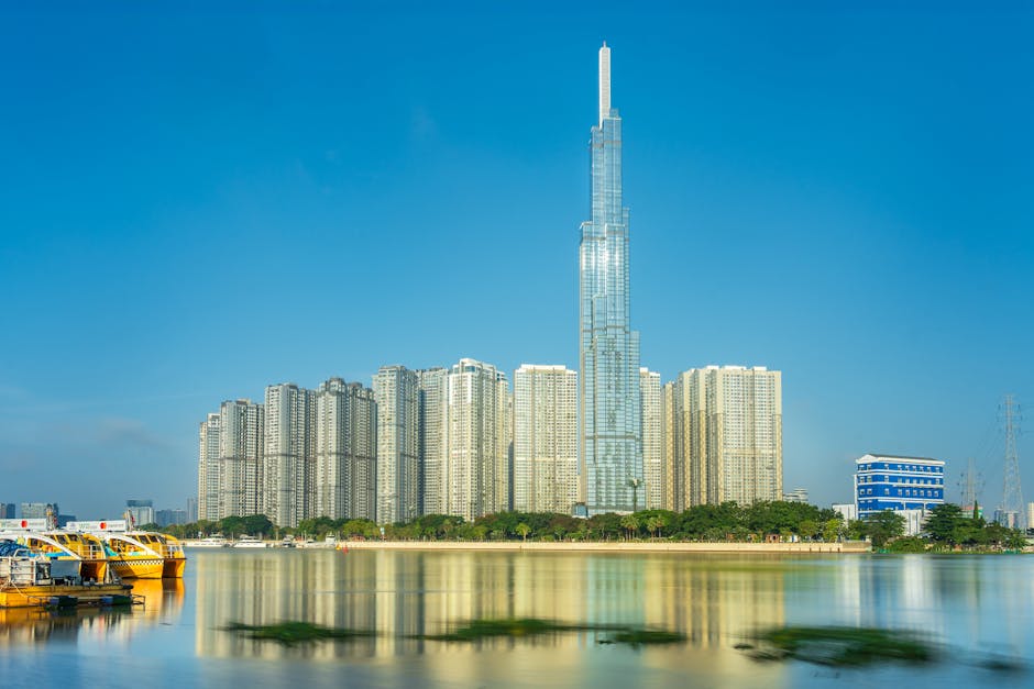 Moderate
Ho Chi Minh City, Vietnam
Explore Saigon’s coffee evolution from 1930s clay-pot brews to modern specialty roasters on this self-guided walk through District 1 and 3.
 Moderate
Ho Chi Minh City, Vietnam
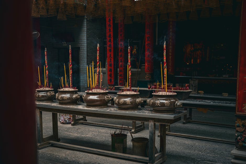
Explore the soul of Ho Chi Minh City's Chinatown on this self-guided walk through historic markets and ornate Cantonese assembly halls.
 Easy
EasyHo Chi Minh City, Vietnam
Discover the vibrant spirituality and stunning architecture of District 3, from serene pagodas to the iconic Pink Church.